blah blah blah
Ferrin Pond
Length: 1.8 miles out-and-backDifficulty (click for info): Beginner
Elevation Gain: 200 feet (+110 feet on return)
Rating (click for info): 6/10
Elevation: 946'
Driving Directions:
Trailhead and parking area are on Mountain Road in Weare, NH. From Rt. 149, 1.8 miles west of the junction with Rt. 77 and Rt. 114, turn south over the bridge on Perkins Pond Road. Continue 0.6 miles and take a right at a four-way junction onto Mountain Road (you can't approach this junction from the left, as it is one-way). Drive 1.3 miles down Mountain Road. As you round a bend to the left, look for the entrance to a dirt road with a row of mailboxes on the right, under a power line clearing. The official parking area and trailhead are 0.4 miles down this dirt road, but it is usually most prudent to park at the entrance, as the road can be rough, especially in mud season. Click here for a Google map.
About the Hike:
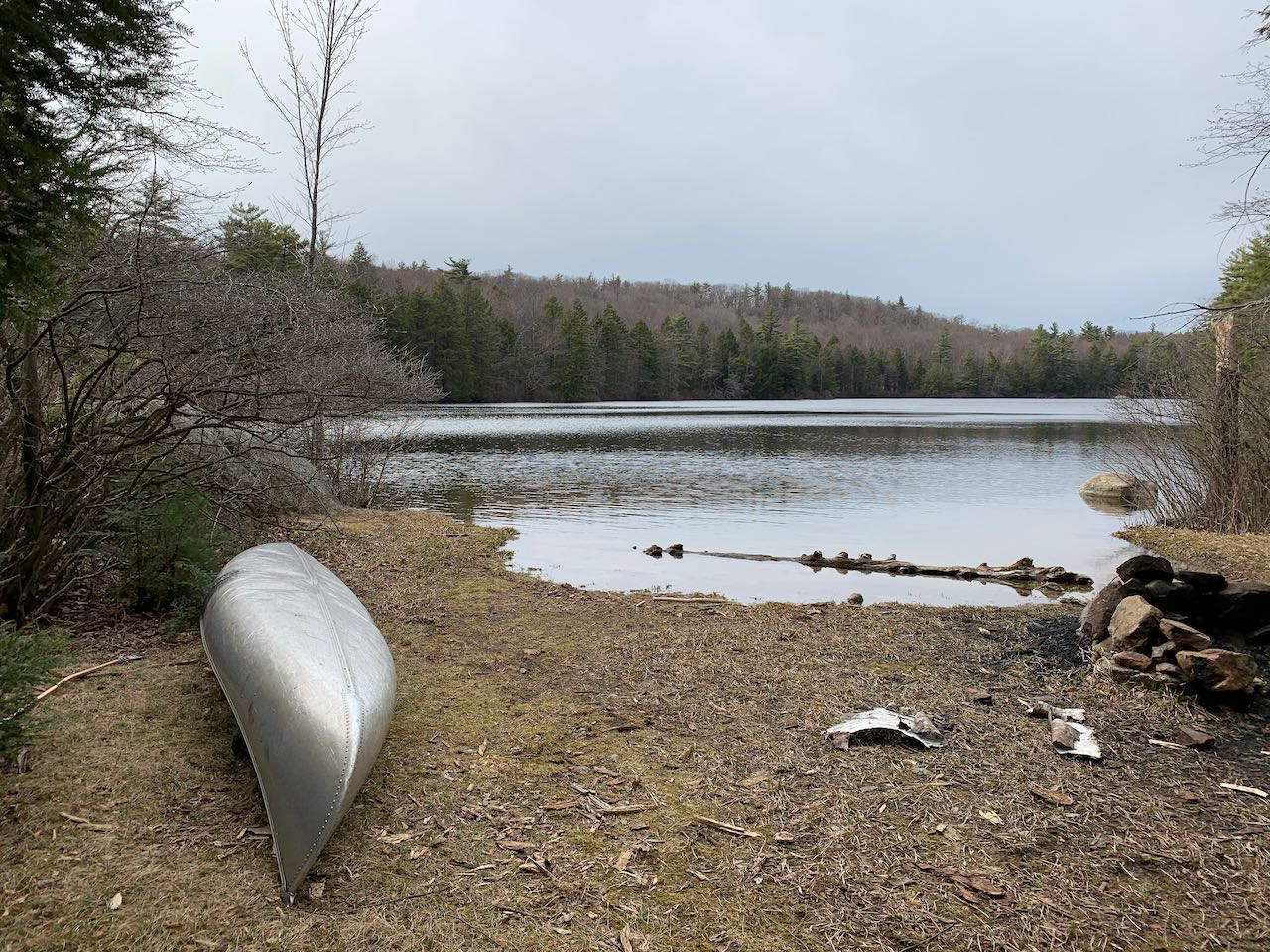
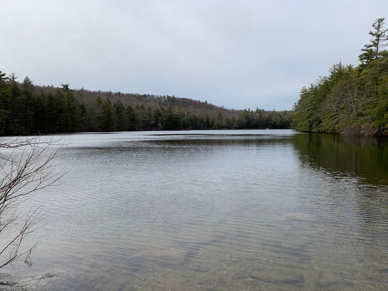
It's tough to find a secluded and pristine waterbody in southern New Hampshire, but Weare's Ferrin Pond fits the bill. It has all the characteristics of a scenic mountain tarn you'd find up north - an evergreen-lined shore, a stony bed, and clear, clean water. It's also at an unusually high elevation for this area of the state. A pleasant walk through town conservation land will get you to its south shore, and you can explore all the way around if you have time.
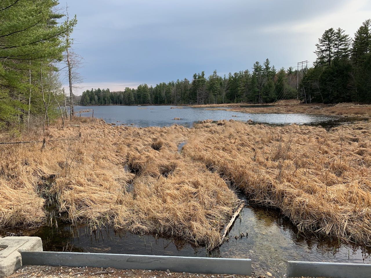
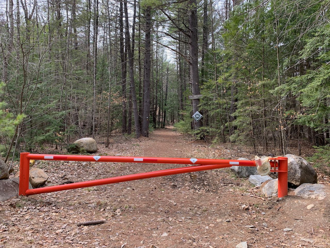
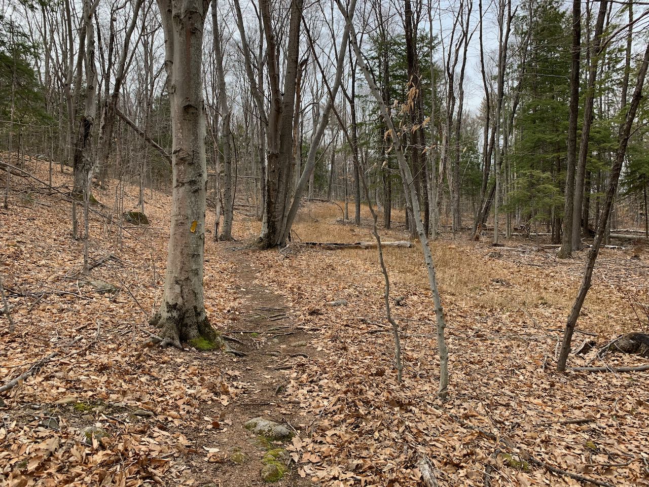
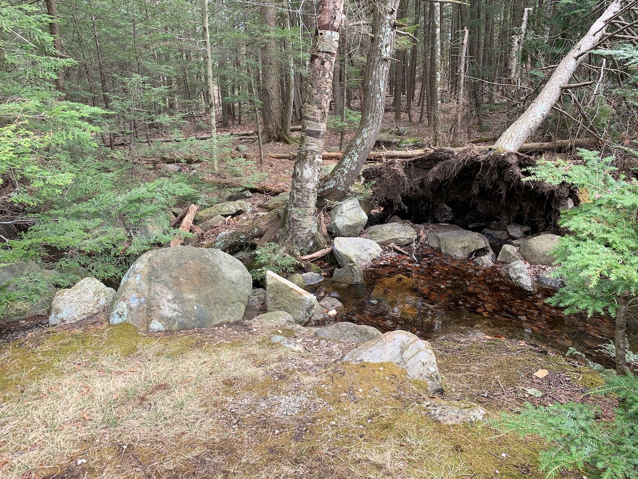
Starting at the corner on Mountain Road, follow the rough dirt road downhill along the power lines, bearing left to avoid a diverging private road. After 0.35 miles, the road crosses a bridge over Buxton Brook in a marshy area, where you can look out over a nameless pond. Just beyond is the town forest parking area. Turn right and walk past the orange gate onto the Ferrin Pond Trail. The trail proceeds under a stand of tall pines and soon climbs onto a tiny ridge, where the outlet brook from the pond bubbles below on your left. It makes a couple of odd meanders back and forth as it climbs the crest of the mellow rige. Approaching the pond, it crosses a stone wall and descends to a small opening at the far south end, a total of half a mile from the gate. Here, from the grassy patch right next to the outlet, you can survey the whole of the tranquil waters. On the opposite shore rises an 1150' hill called Boar's Head, while on this side, the pond is nestled in by a nameless hill over 100' shorter. The trail does continue to make a circuit around the pond, but is less used beyond this point, and can be difficult to navigate near the close of the loop in a logging cut. If you want to reach the other end of the pond, it's an additional 0.45 miles each way. The trail stays close to the shoreline for 0.3 miles, then makes two switchbacks to climb over the top of the hill and descends back to the shore at the north end.
Printable directions page